Seamounts, volcanoes and guyots
A “portrait” of underwater peaks built from detailed oceanographic surveys and modern bathymetry: hydrology, dynamic processes, marine biology and slope geology.

A round-the-world scientific expedition aboard the sailing research yacht Maola. We study seamounts and open-ocean eddies — in waters research vessels don't reach for years.
Amateur sailors cross oceans and reach the most remote corners of the planet — yet almost no scientific measurements are ever taken aboard their boats. Meanwhile, research-vessel expeditions to those same waters are not organised for years: operating a large research ship costs enormous resources.
Ocean Peaks is an attempt to connect the two worlds. We are demonstrating that comprehensive marine research can be done from a small sailing yacht: all upper-ocean work can be carried out by a small crew, while the geography of sailing routes opens up waters inaccessible to classical expeditions.
The scientific goal of the project is to study how dynamic processes over seamounts and in mesoscale eddies of the open ocean influence hydrological, biological, chemical and geological phenomena in the World Ocean.
Expedition outcomes: papers in leading journals, conference talks, and a book compiling the research results.
The low-latitude circumnavigation is split into five legs, with breaks between them for regional expeditions, refits and scientific upgrades of the yacht.
Ports of call are tentative and will be refined as the expedition progresses.
July — October 2026
Fethiye (Turkey) — Rhodes (Greece) — Bizerte (Tunisia) — Tangier (Morocco). Expedition to the first study site — the Ampère and Josephine seamounts.
November 2026 — January 2027
Morocco — Cabo Verde — the Antilles — Panama. Survey work off Morocco and underway measurements across the Central Atlantic.
February — June 2027
Panama — Galápagos — Tahiti — Fiji.
July — October 2027
Fiji — Torres Strait — Phuket.
Winter 2027 — 2028
Phuket — Sri Lanka — Malé — Salalah — Suez Canal — Fethiye. The circumnavigation ends where it began.
Refit, science and passages — short updates in the project Telegram channel (in Russian). @maola_ocean
Our study objects are seamounts and mesoscale eddies of the open ocean. Both lie far from ports and research-fleet bases — yet the necessary upper-ocean research can be carried out from a sailing yacht.
A “portrait” of underwater peaks built from detailed oceanographic surveys and modern bathymetry: hydrology, dynamic processes, marine biology and slope geology.
“Chasing” eddies across the open ocean using near-real-time satellite data from the shore team: surveying water structure and currents in eddy cores and at their edges.
We lower autonomous probes on an oceanographic winch to find out which water masses lie at different depths and study their properties.
We take a water sample from the required depth and run specific analyses — on board or in a shore laboratory.
We deploy moored stations with autonomous, continuously recording instruments; once recovered, they give us a record of how properties change at that point in the ocean.
We catch phyto- and zooplankton to study the base of the ocean's food chains.
We record marine sonar data at several frequencies to track the daily migration of living organisms.
Grab sampling of bottom sediments: geology and geochemistry of seamount slopes.
A video module for filming the marine life of underwater peaks.
Continuous surface-layer measurements and weather observations on every passage.
The shore team analyses satellite data and ocean-circulation forecasts, adjusting the work plan as the yacht approaches each study site.
LongreadThe rowing boat AKROS drifted with nobody aboard for sixteen months. We worked out where it was being carried and took part in the search — on 7 August the boat was returned to Fedor Konyukhov’s team.
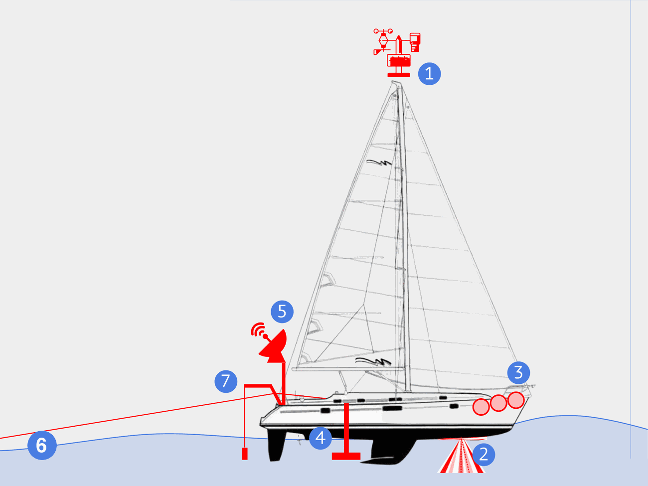
Read →A sailing research yacht — a Beneteau Oceanis Clipper 411, refitted for open-ocean work. We deliberately chose a small 12.5-metre yacht to prove that scientific data can be gathered with a small vessel and a crew of two or three.
| Type | Beneteau Oceanis Clipper 411 |
|---|---|
| Rig | Bermuda sloop, 86 m² |
| Length | 12.5 m |
| Displacement | 8.5 t |
| Draft | 1.7 m |
| Engine | Yanmar, 56 hp |
| Fuel / water | 150 l / 550 l |
Tap a number on the diagram to see what it is.
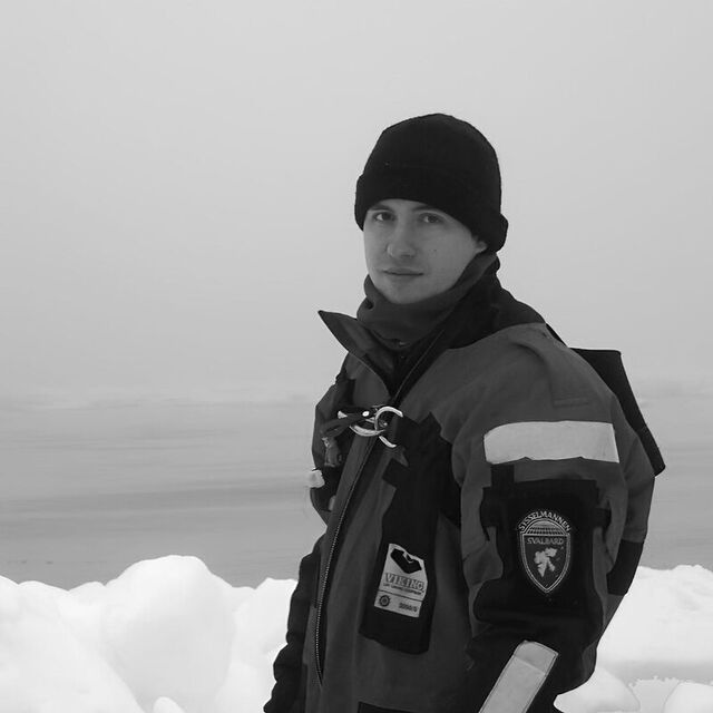
Project lead
PhD in physics, deep-sea currents specialist
Oceanographer, physicist and sailor. Over 30 marine expeditions — the Arctic, Antarctica, the Atlantic, Pacific and Indian oceans. Goes to sea to study currents in the depths of the World Ocean.
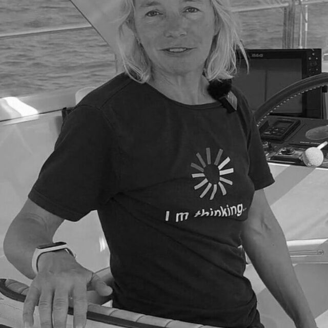
Captain of Maola
Candidate for Master of Sport, sailing instructor
Yacht captain, mechanic and journalist. Multiple ocean crossings under sail and a knack for solving any yacht problem in the most exotic corners of the planet — from paperwork to repairs.
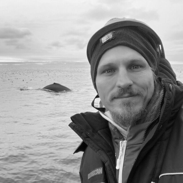
Scientific advisor
DSc, oceanographer
Author of the popular-science blog “The Ocean Around Us” and one of the country's best-known ocean-science communicators. Keeps the project scientifically honest.
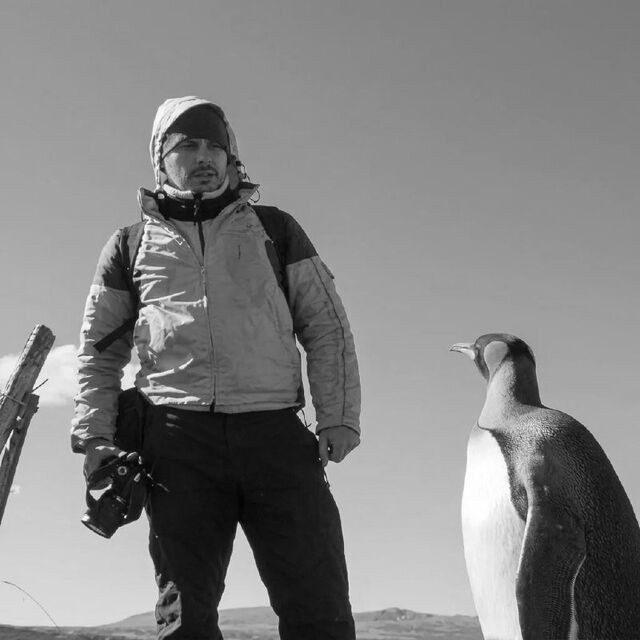
Creative producer
Oceanographer
Editor-in-chief of the international portal ITRussia.media. Runs the media side of the project: content, press events in ports of call, the future film and book.
Project designer
Author of the Ocean Peaks identity: the logo, the yacht mark, the brand graphics and the visual language of the project.
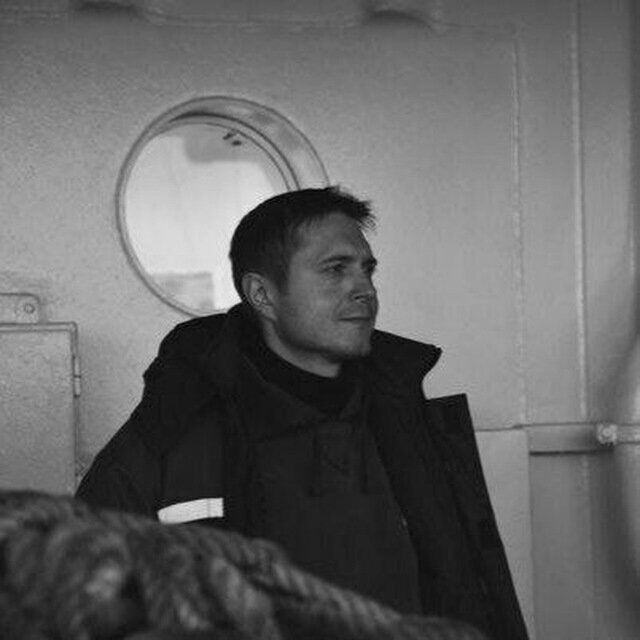
Scientific outfitting
PhD, marine measurement specialist
Turns a cruising yacht into a research vessel: instruments, measurement systems and open-ocean survey methods.
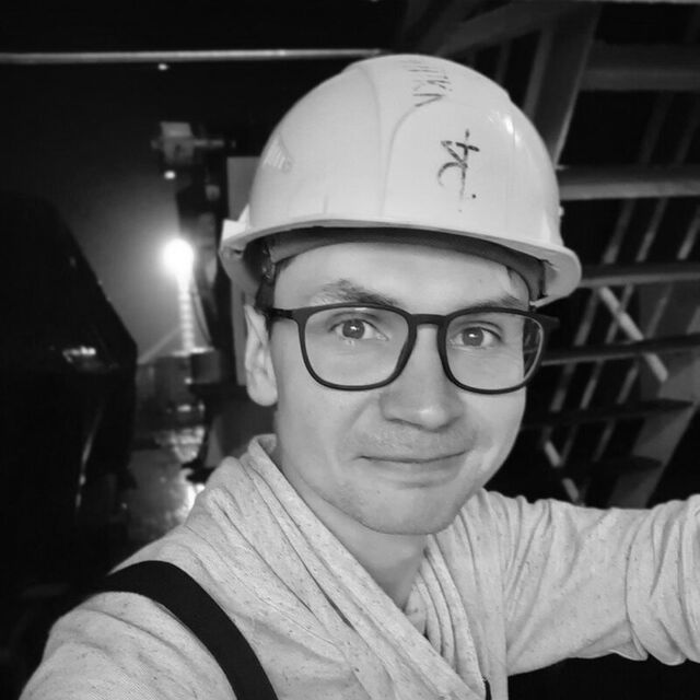
Marine geology
PhD, sedimentation specialist
Mining engineer and marine geologist. Trained to extract mineral resources from the seabed — extracts knowledge about the history of the ocean and climate instead. Also runs onboard 3D printing.
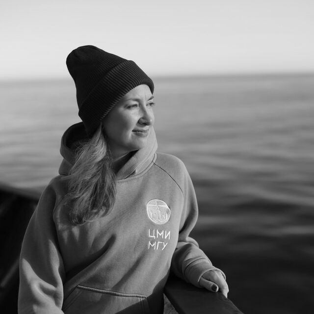
Marine biology
PhD, deputy head of research at MSU Marine Research Center
Marine biologist. Coordinates research on all living things — visible and invisible.
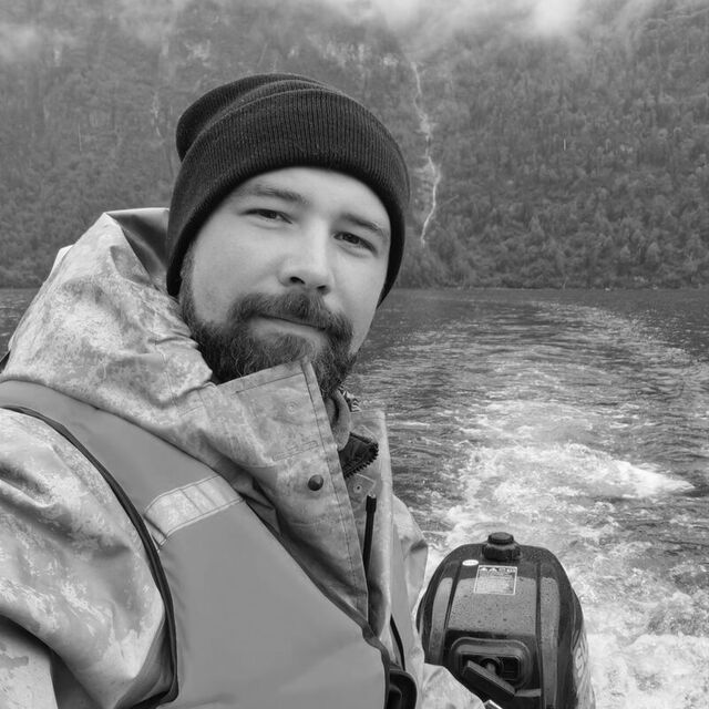
Marine instrumentation
PhD, head of laboratory at MHI RAS
Design engineer of oceanographic instruments. Builds, tunes and repairs electronic and mechanical systems right in the field — including custom technical solutions for expedition tasks.
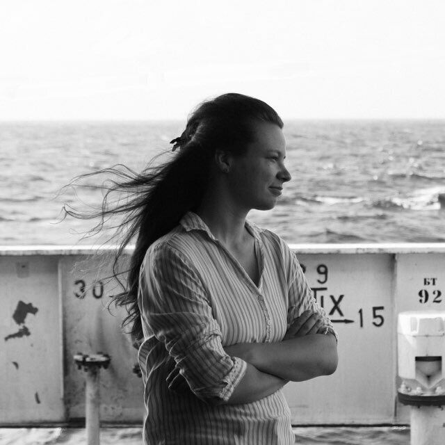
Sea level, yacht preparation
Oceanographer, tsunami laboratory
Analyses sea-level variability and takes part in the technical preparation of the yacht for the circumnavigation.
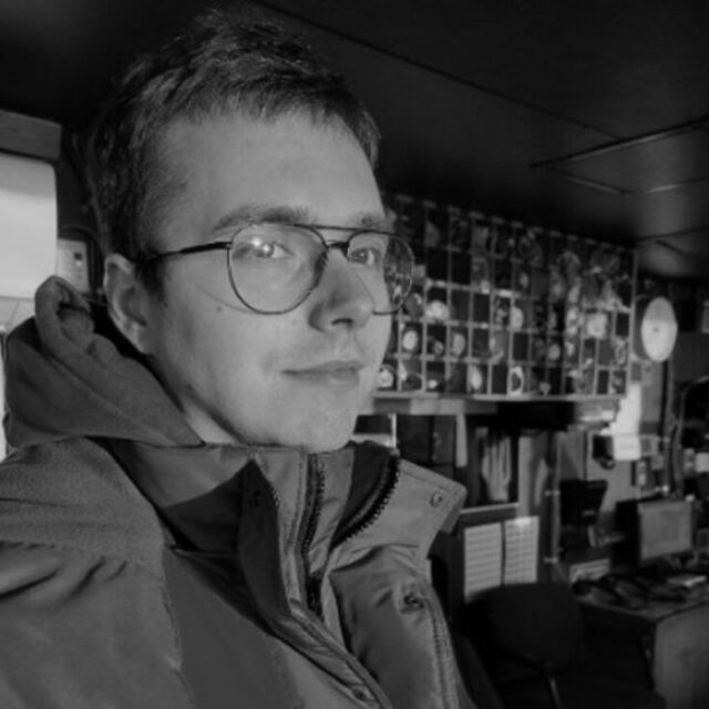
Expedition cartographer
IHO Category A hydrographer, hydroacoustics specialist
Uses sound to study the ocean — from the shape of the seafloor to the movement of plankton in the water column.
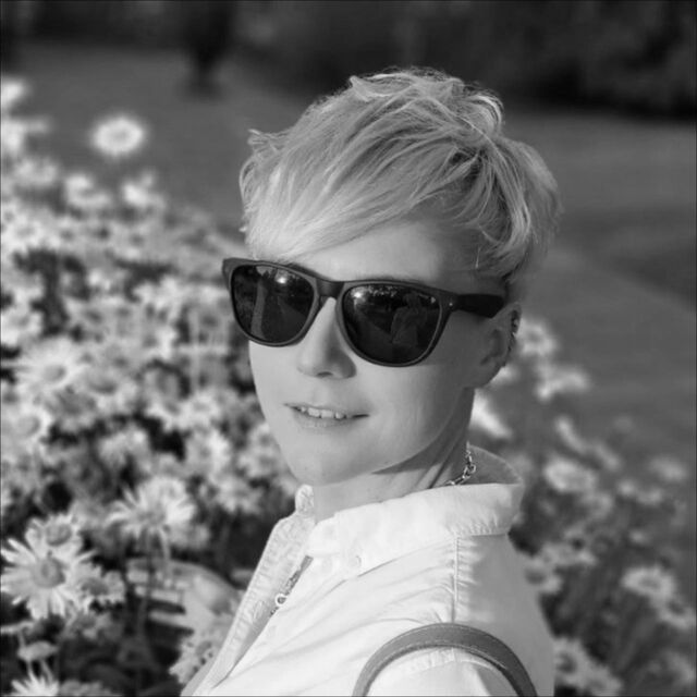
Geochemistry and ore geology
PhD, marine geochemist
Studies the ocean at the molecular level: prepares extracts from seafloor mud and deep-sea ore to understand their origin.
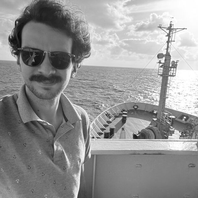
Meteorologist, project IT
Oceanographer, big-data specialist
Over 10 years in oceanography and meteorology. Former lead meteorologist at Windy.app, Yandex Weather and OpenWeatherMap. Runs the expedition's IT and weather forecasting — knows what the weather will be tomorrow.
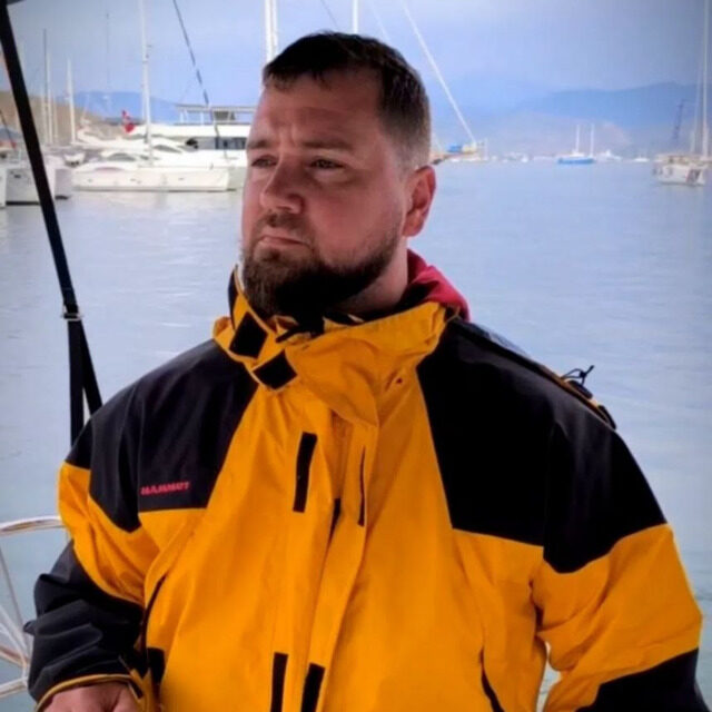
Navigator, partnerships coordinator
Member of the Russian Geographical Society
Yacht captain, expedition organiser and volunteer medic. Captain of the staysail schooner Zelyony Luch. Works on ocean passages and on building the project's partnerships.
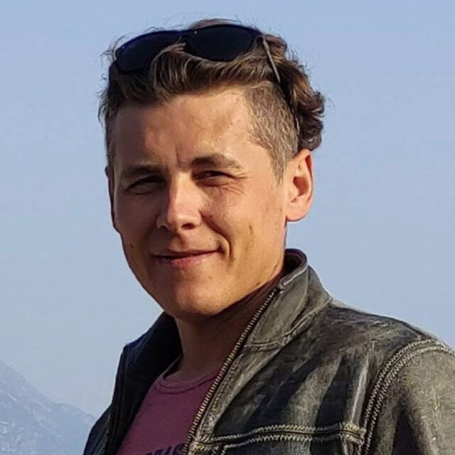
Skipper, second captain of the schooner Zelyony Luch
Multisport athlete
Can run a marathon, climb a rock face, and rebuild an engine with eyes closed.
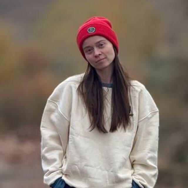
External communications
Communications expert with a background in technology, science and industrial projects. Responsible for how Ocean Peaks talks about itself: positioning, PR and the language of the project's public communications.
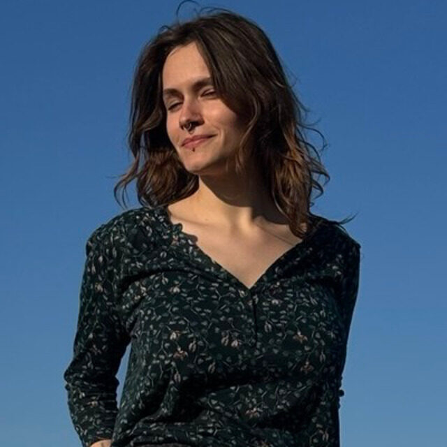
Social media editor
Tells the story of the expedition, life on board and the team's scientific work in plain language, with attention to detail. Explains complex things without oversimplifying what matters.



The project is open to scientific and technological partnerships. Become a partner →
Maola has set off on her circumnavigation, with ports across three oceans ahead. The project needs volunteers:
Maola is an open platform for marine research in the open ocean. If you have an idea for measurements or an experiment in the upper ocean that could be carried out along the expedition's route — get in touch.
Tell us about it